
Term 2: Continents and Oceans
|
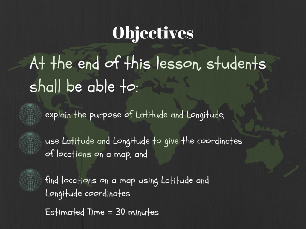
Learning Outcomes:
|

|
Continents and Oceans Cinema:
|
|
|
|
|
|
|
|
Social StudiesGeography is a science that deals with Earth’s surface. People who study geography are called geographers. Geographers are interested in Earth’s physical features, such as mountains, deserts, rivers, and oceans. They are also interested in the ways that people affect and are affected by the natural world.
Project Based Learning is a teaching method in which students gain knowledge and skills by working for an extended period of time to investigate and respond to an engaging and complex question, problem, or challenge. Use: - The Internet (Britannica) - The library - Software / Websites - Materials Read the instructions and activities clearly |
Branches of Geography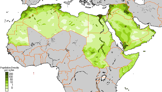
Geography can be divided into two branches: physical geography and human geography. Physical geographers observe, measure, and describe Earth’s surface. They study how landforms develop and how they change. They look at how different landforms affect climate. They also study how people change the land through such activities as building cities, digging mines, and clearing forests.
Human geography focuses on where people live, what they do, and how they use the land. Human geographers might study why cities and towns develop in certain places. Others study the cultures of different peoples, including their customs, languages, and religions. . |
How Geographers Work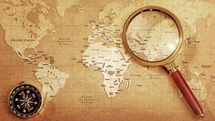
Geographers use a number of methods and tools in their work. The simplest method is going out to a place to observe and gather information. This is called fieldwork. Geographers use photographs taken from the air to see things that they cannot see from the ground. They also depend on spacecraft called satellites to take photographs and collect information from far above Earth. Geographers use computers to help them make sense of the information they receive.
The main tool used by geographers is the map. People who make maps are called cartographers. Geographers use maps to display the information they have gathered. Topographic maps show natural land formations, such as the huge landmasses called continents. Geographers also use maps to show how people have divided the land. Political maps show the boundaries of countries and other divisions. |
Remember
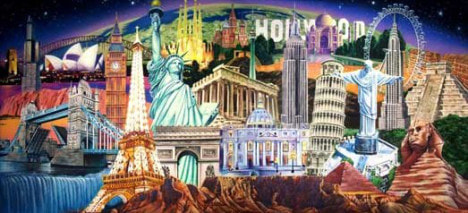
Activity 1: Remember Mapping SkillsRead each statement below. Each statement describes a natural or manmade landmark someplace in the world. As you read each statement, ask yourself What are the key words in the statement? Use library or Internet resources -- and those key words -- to help you figure out which landmark each statement describes. Write the name of the correct landmark on the line next to the statement.
|
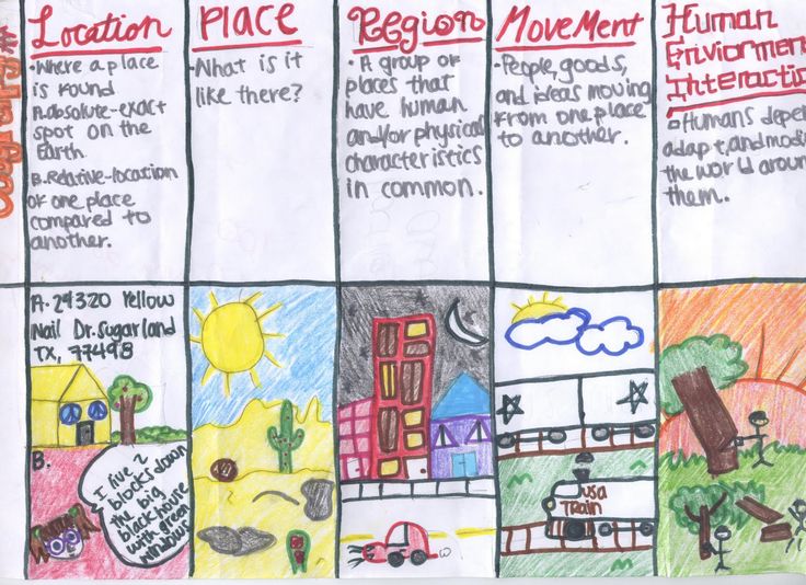
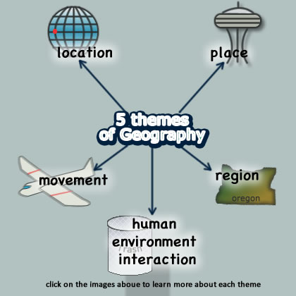
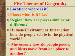
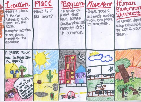
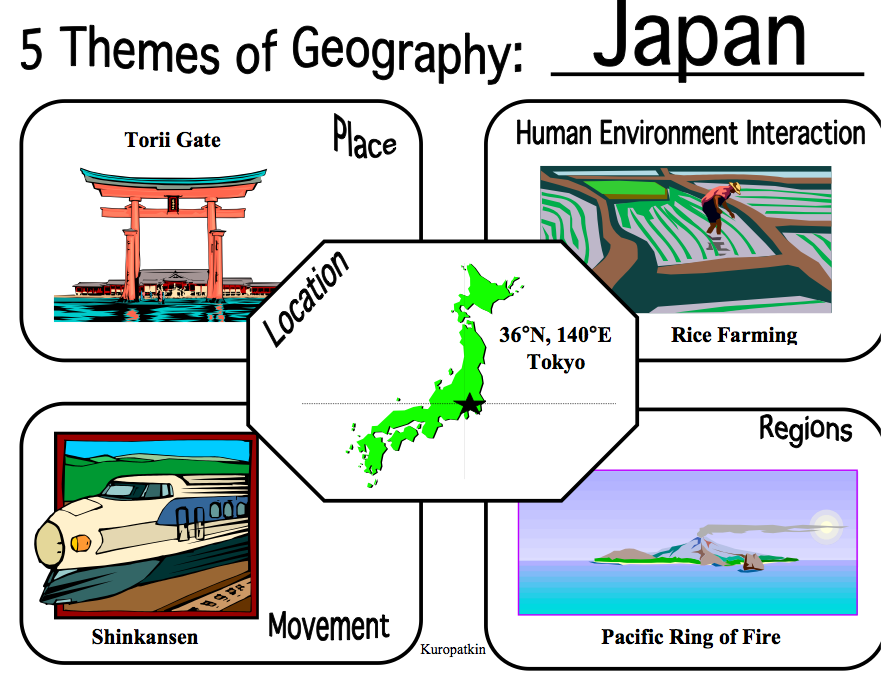
Activity 2: Remember the five themes of GeographyNearpod code: KZEDQ
In this activity you will remember and draw the five themes of Geography, you will use an A3 paper fold it into 10 boxes and explain each theme in your own words including a drawing. See the example attached - |
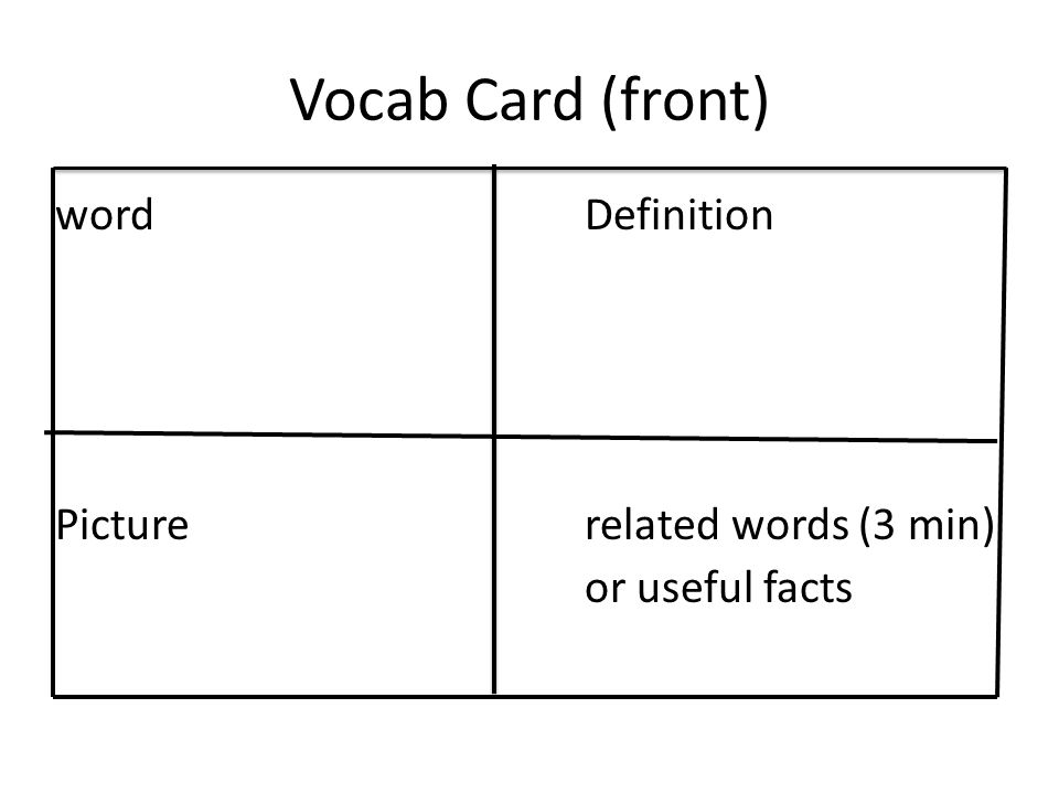
Activity 3: Remember Geography Vocabulary FlashcardsQuizlet: https://quizlet.com/14122054/6th-grade-geography-vocabulary-flash-cards/
Open the website above and look at all the geography vocabulary words. On this website you can learn words, spell, and take a quiz. After this you pick 10 words and create flashcards for use in our class. You can either draw or create these on the computer. Use Powerpoint or Google slides and look at an example below. |

Understand
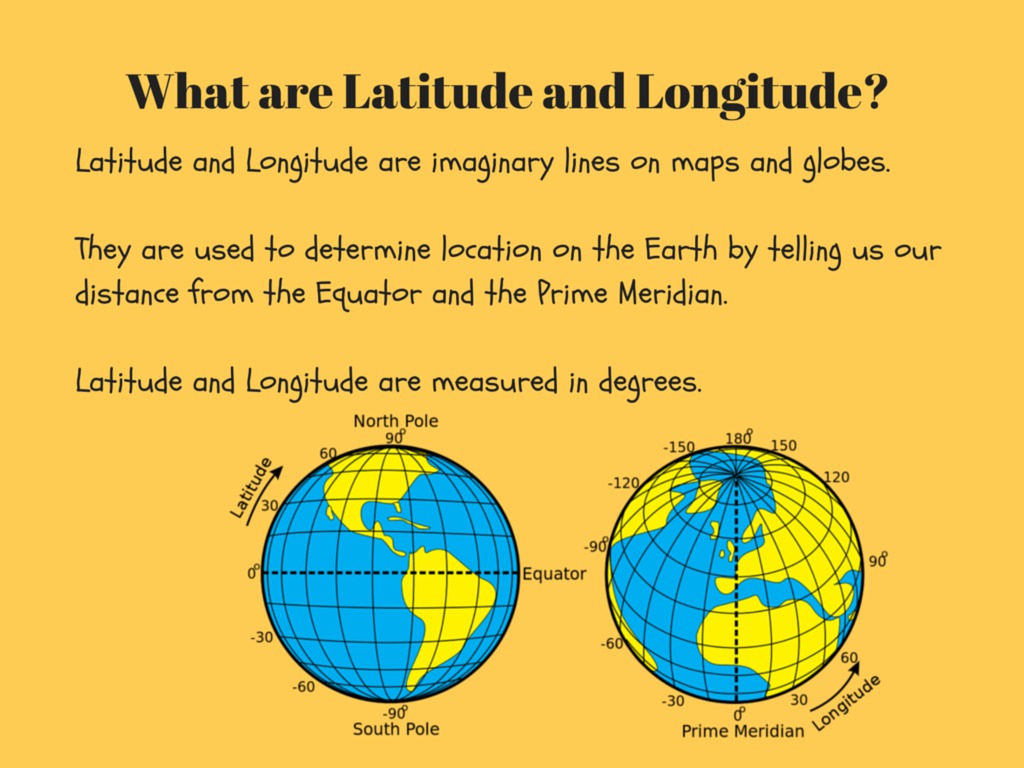
Activity 4: Understanding Latitude and LongitudeNearpod: ROAZS
In this activity you understand more about Latitude and Longitude. After completing the Nearpod lesson, collect an empty world map and draw the lines of latitude and longitude. |
Activity 5: Understanding Geography, Video!Watch the following video and answer the following questions in your own words. (Minimal 1. paragraph per answer) - You can either write it on paper/journal or type it in a word document.
- What is Geography? - What do Geographers do? - What Tools do Geographers use? |
Activity 6: Understand reading a Map -Start 1 - http://world-geography-games.com/continents.html
Start 2 - http://world-geography-games.com/oceans.html In the following activity you will use an empty world - map. And name the 7 Continents and our 5 oceans. Do you understand how to create a map that is easy to understand and read for someone else? Be creative and use color coding. 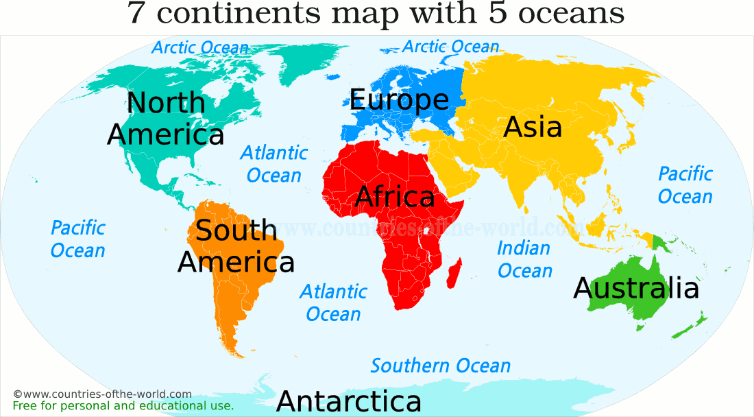
|
Apply
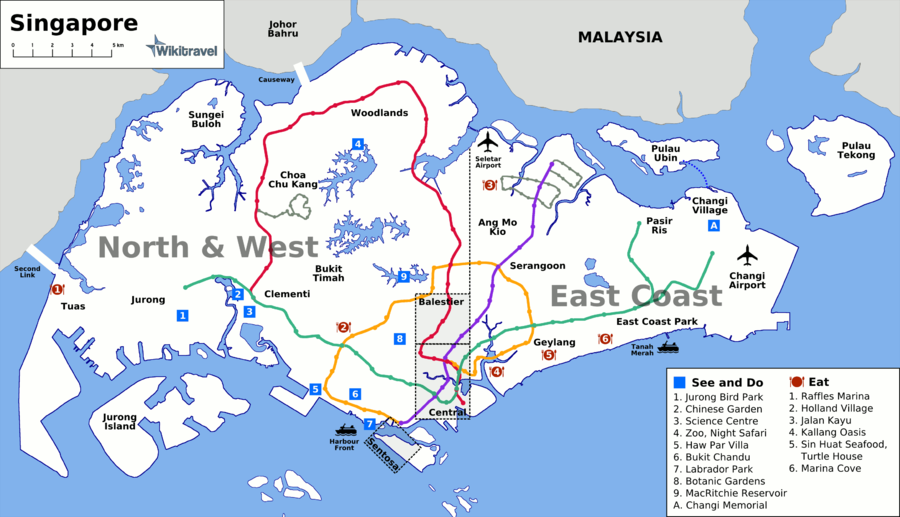
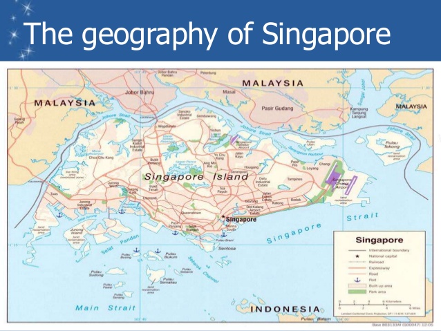
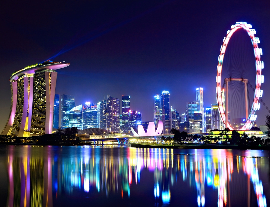
Activity 7: Apply Cultural Diversity in an EssayUse the video to learn about cultural differences in Singapore. Use the power-point to describe‘cultural diversity’ and investigate other aspects of Singapore’s cultural diversity e.g. religions, languages, lifestyle including foods, festivals, cultural celebrations and sports.
Write a 1 paper essay on the things that you've learned in this lesson (Calibri 12) |
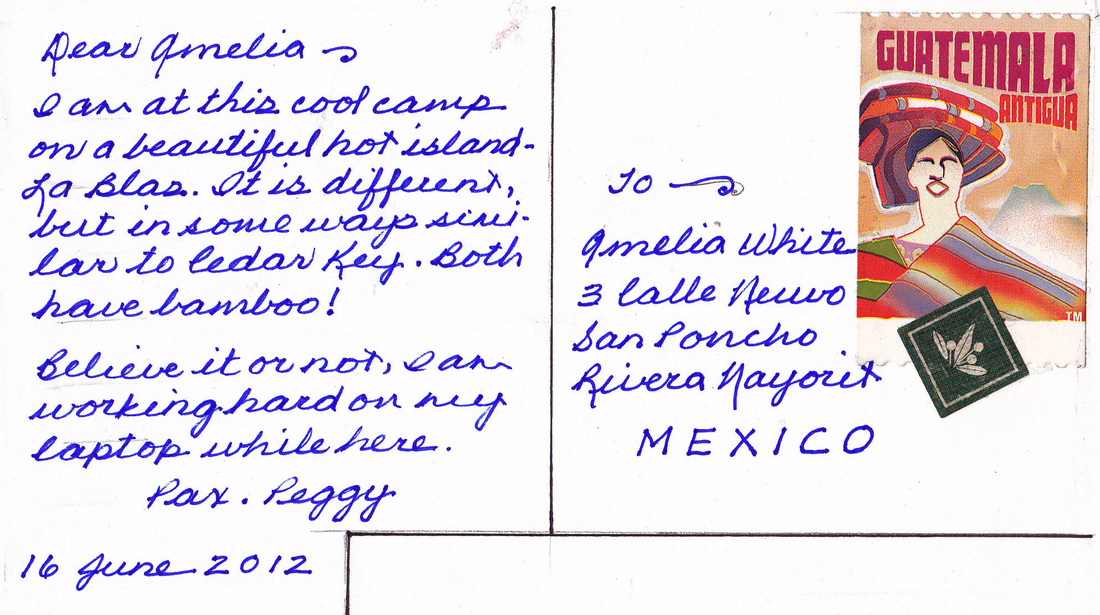
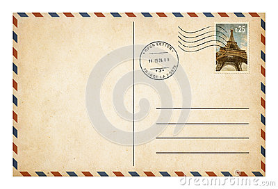
Activity 8: Apply the five themes of geographyNearpod code: KZEDQ (Reminder week 1)
Design postcards. On one side, you draw an image representative of a place (Country). On the other side, you write a message that provides readers with several clues about the place. This should be at least 2 paragraphs. (Use all the Themes of Geography) Post students' cards on a bulletin board. Number each card. Give students a week to read all the cards on their own and to jot down their best guesses as to the place. At the end of the week, students can turn over the cards to learn the correct answers. Who correctly guessed the most places? |
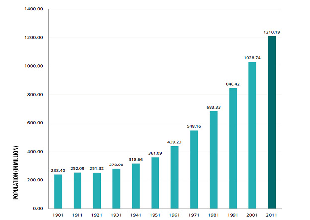
Activity 9: Apply statistics and skillsWhat is the current World Population?
7 Billion (2011) According to the United Nations, world population reached 7 Billion on October 31, 2011. The US Census Bureau made a lower estimate, for which the 7 billion mark was only reached on March 12, 2012. Collect population statistics of a city or country as far back as they are available. You will create graphs to show how the population has changed over the decades. Describe in 1 paragraph "How has population change affected the town or country? " |

Analyze
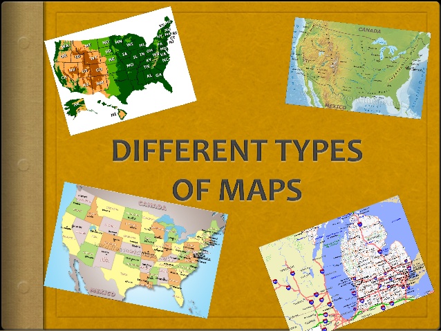
Activity 10: Analyze Different Maps PPTThere are several types of maps. Each show different information. Most maps include a compass rose, which indicates which way is north, south, east and west. They also include a scale so you can estimate distances. Here's an article about some different types of maps.
www.thoughtco.com/types-of-maps-1435689 Climate maps Economic or resource maps Physical maps Political maps Road maps Topographic maps Collect/find (using google images) 5 different Maps and explain for each map in 1 paragraph how we can use this map, what we can see on this map and who especially can use this map? You can use Powerpoint or Prezi. |
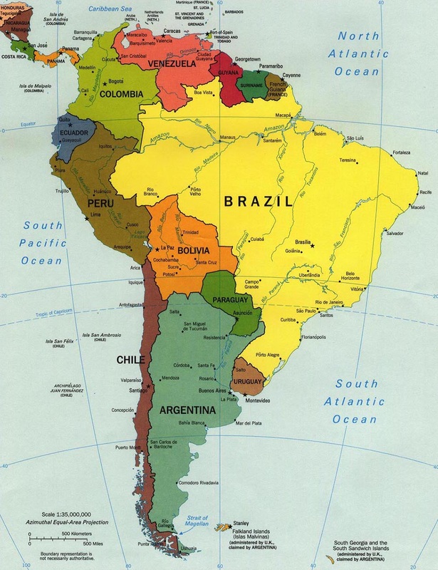
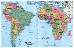
Activity 11: Analyze South AmericaFirst -
www.nearpod.com Nearpod Code: FZKCI In this lesson you will identify and analayze all the diffrent countries in South America and find relevant information about each country. After finishing the Nearpod Lesson you will use an A3 paper and draw a Political Map of South America including all the countries. (Political maps are designed to show governmental boundaries of countries, states, and counties, the location of major cities, and they usually include significant bodies of water. Like the sample above, differing colours are often used to help the user differentiate between nations.) |
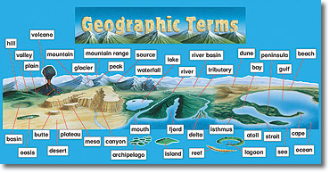
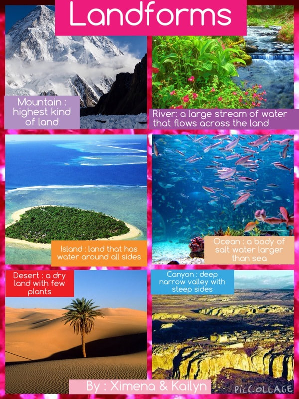
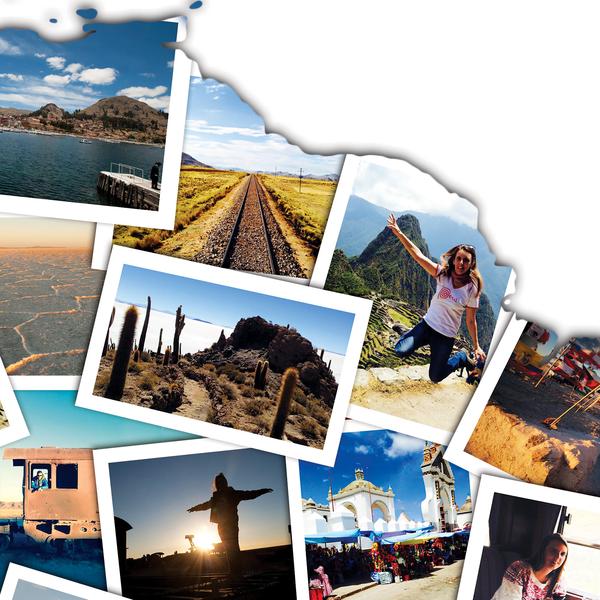
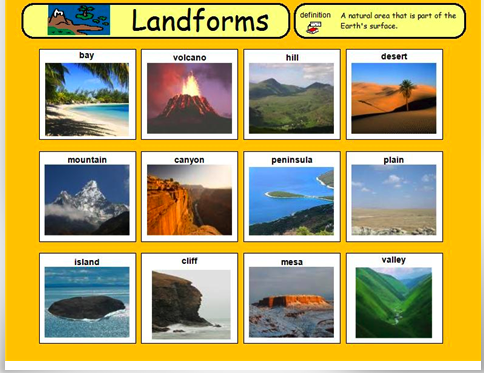
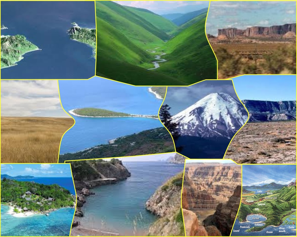
Activity 12: Analyze Landforms in the world.First -
www.nearpod.com Nearpod Code: FXRIK In this lesson you will identify different kinds of landforms around the world. For example: rainforest, deserts and peninsulas. After finishing the Nearpod lesson you will use the website https://www.befunky.com/create/collage/ On this website you will create a collage including 8 different vocabulary words you have learned in this lesson including a picture for every different landform. Example of product:
|
Evaluate
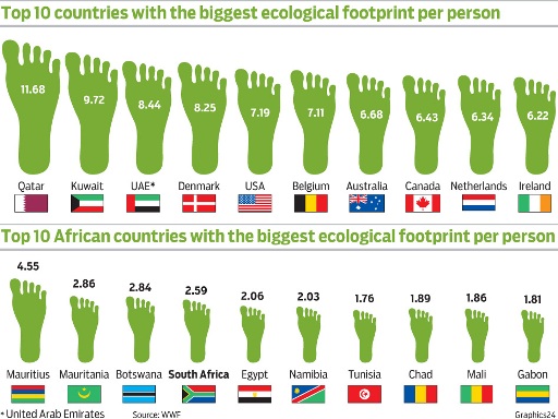
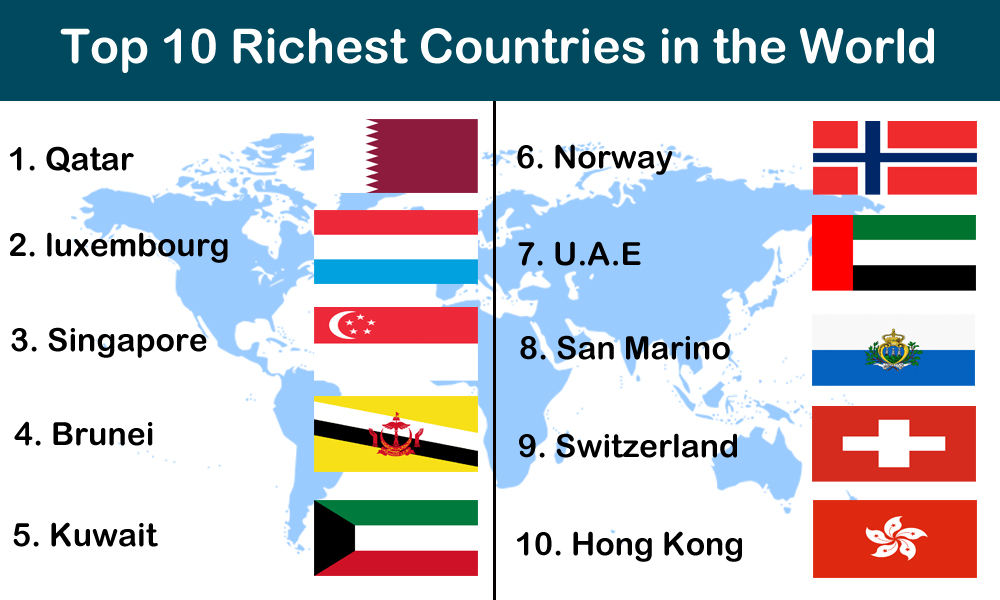
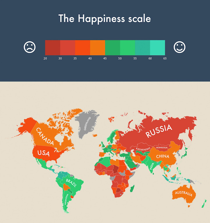
Activity 13: Evaluate Countries of the world by making an InfographicEvaluate the world by making a Top 10! Ideas for a top 10 are...
- Top 10 biggest countries - Top 10 smallest countries - Top 10 richtest countries - Top 10 poorest countries - Top 10 happiest countries - Top 10 countries with war - Top 10 most powerful countries - Top 10....... your own idea!!!!! Design and decorate your own top 10 professional Infographic! Useful websites: https://www.canva.com/create/infographics/ https://piktochart.com/ https://venngage.com/ |
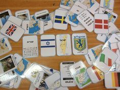
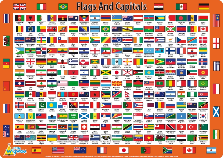
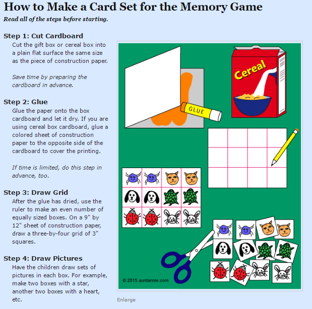
Activity 14: Evaluate the Capitals of the world by designing a memory gameEvaluate at least 20 capitals / 20 Countries by creating a memory game. Make a set of cards for the game of memory. This is a fun and very easy project. Create a card with a country, and a card with the capital.
Here's what you need:
(You can also design this on the computer) |
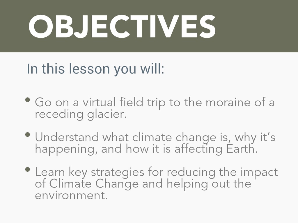
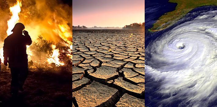
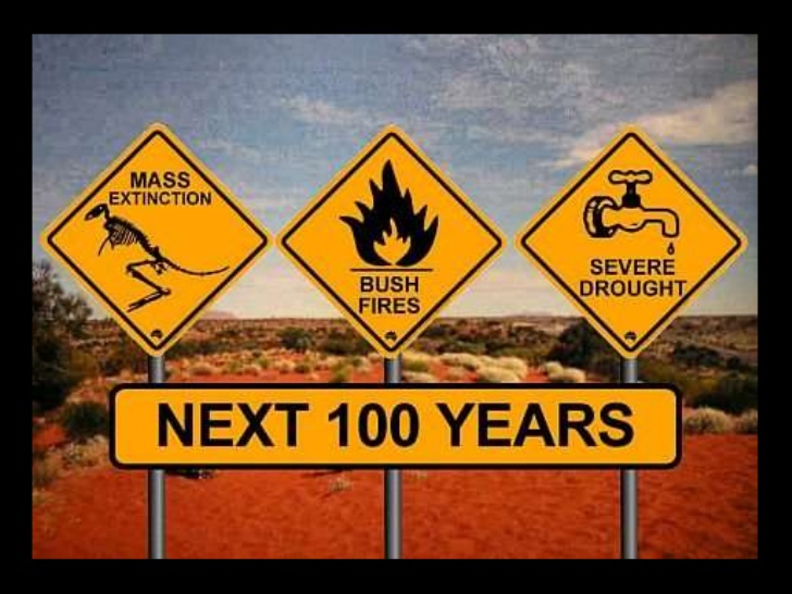
Activity 15: Evaluate Climates and Climate Change in a PowerpointFirst -
www.nearpod.com Nearpod Code: CPOGW If the Nearpod tells you to work together, ignore this and do it by yourself. This is a personal activity in where you learn more about Climate Change What is Climate Change and what can we do to help? After completing the full Nearpod, you will think back of Climate Change in the world. Create 5 Slides with the impact of Climate Change in the world. And create 5 Slides with solutions for Climate Change. |
Create
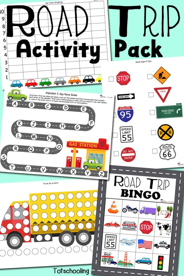
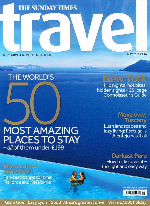
Activity: Small World Travel MagazineUse the website www.canva.com to create a Travel Magazine. Include facts, maps and picturse. Make it
- Cover - Table of Contents - A minimal of 5 destinations - 1 poster - 1 fun activity - Back Cover |
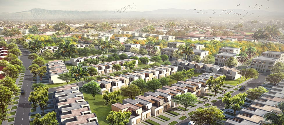
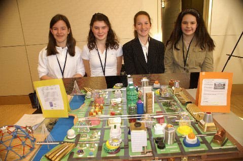
Activity: Creating a City of the future / Presentation (PPT / Prezi / Model)Future City starts with a question—how can we make the world a better place? To answer it, 5th and 6th, grade students imagine, research, design, or build a city of the future.
- In your building and or presentation you need to use the five themes of greography! |
Activity: Make an AtlasChoose a country and or place. Collect a large sheet of drawing paper. Create a map of the country showing major cities, natural features, and landmarks. A fact box on each map might provide standard information about country size, population, etc. Put together all the students' maps to create a class atlas.
|

|
You need to finish 6 out of 18 activities before the end of the term!
- All these activities should be turned in on Edmodo 6 activities x 10 points = 60 points End of term exam = 40 points Social Studies Term 2: 100 points |
|
Term 2: Vocabulary Words
Term 2: The Countries of the World
|
|
|
|
|
|
